Home
About Us
Blog
News & Events
Resources
Learning Center
Links
Contact Us
Services
Agriculture Service
Dryness Monitor
Rainfall & Temperature
Enso Monitor
Climate Data
Observations
Radar Imagery
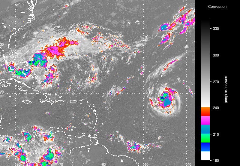
Satellite Imagery
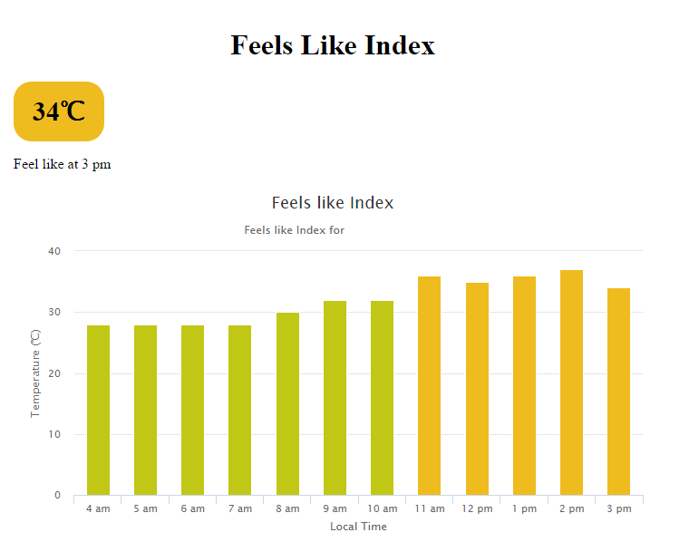
Feels Like Index
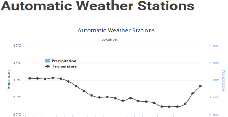
Weather Stations
Forecast
Marine
Warnings
Climate
Observations
Radar Imagery
see more
Satellite Imagery
see more
AWS
see more
UV Biometer
see more
Feels Like Index
see more
Coming Soon
Marine
coming soon