Current Weather

Today's Forecast
Tonight: Generally fair apart from the risk of brief isolated showers. Tomorrow: Sunshine will likely be interrupted by partly cloudy spells and showers over few areas, especially from midmorning. There is also a medium (40%) chance of isolated heavy showers or thunderstorm activity. Conditions should settle by evening apart from the odd lingering shower. N.B. Marine interests should exercise caution! Occasional long period swells are possible and may agitate nearshore conditions, particularly along northern coastlines.
Current Weather
Today's Forecast
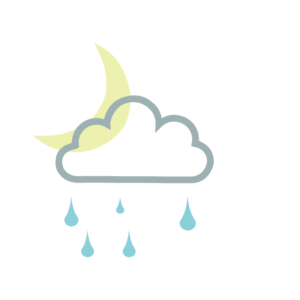
Tonight: Generally fair apart from the risk of brief isolated showers. Tomorrow: Sunshine will likely be interrupted by partly cloudy spells and showers over few areas, especially from midmorning. There is also a medium (40%) chance of isolated heavy showers or thunderstorm activity. Conditions should settle by evening apart from the odd lingering shower. N.B. Marine interests should exercise caution! Occasional long period swells are possible and may agitate nearshore conditions, particularly along northern coastlines.