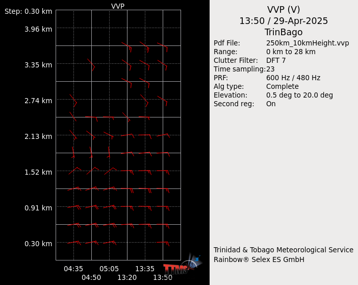
VVP (Velocity Volume Processing)
Provides an estimate of the wind profile up to a certain height
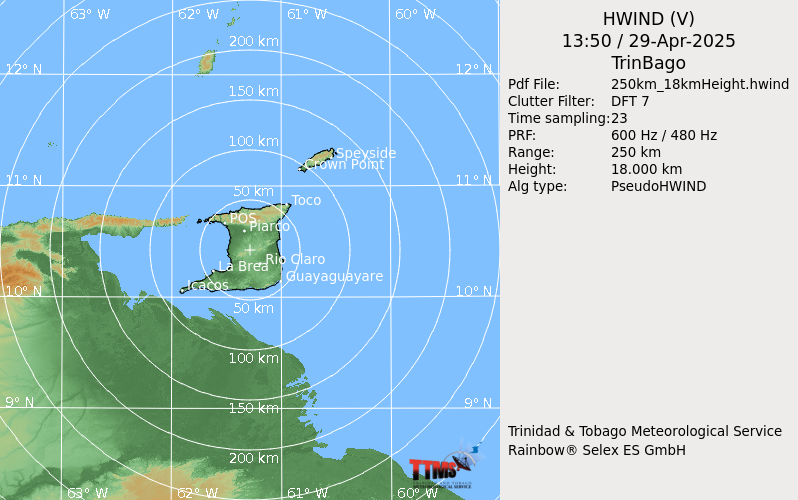
HWind (Horizontal Wind)
Shows wind flow at a specific altitude.
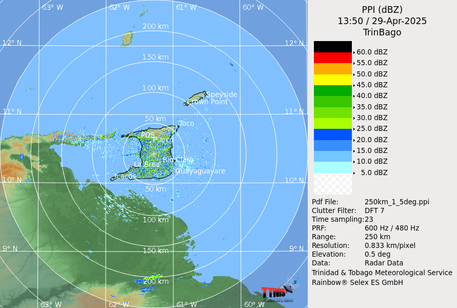
PPI (Plan Position Indicator)
Gives a representation of the cloud echoes in a horizontal plane.
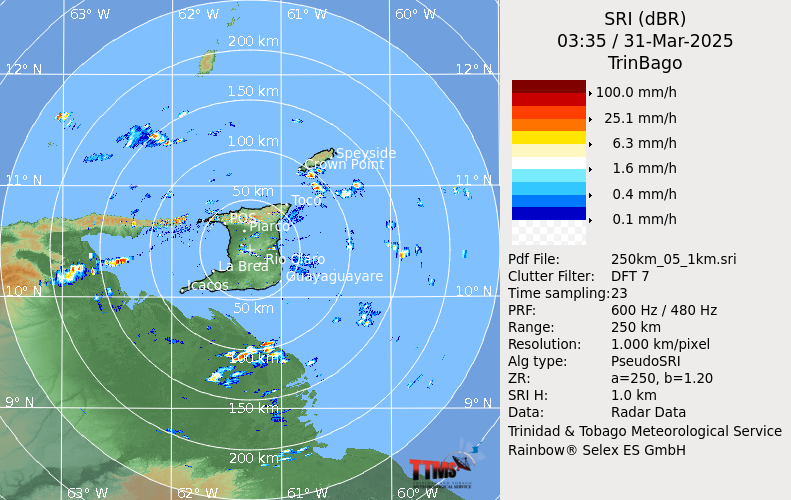
SRI (Surface Rainfall Intensity)
An estimate of rain intensity associated with different echoes.